
475
MapQuest’s app surges to No. 1 in Navigation in the Apple App Store, after refusing to rename Lake Ontario
(www.businesswire.com)
cross-posted from: https://piefed.world/c/tech/p/1371422/mapquests-app-surges-to-no-1-in-navigation-after-refusing-to-rename-lake-ontario
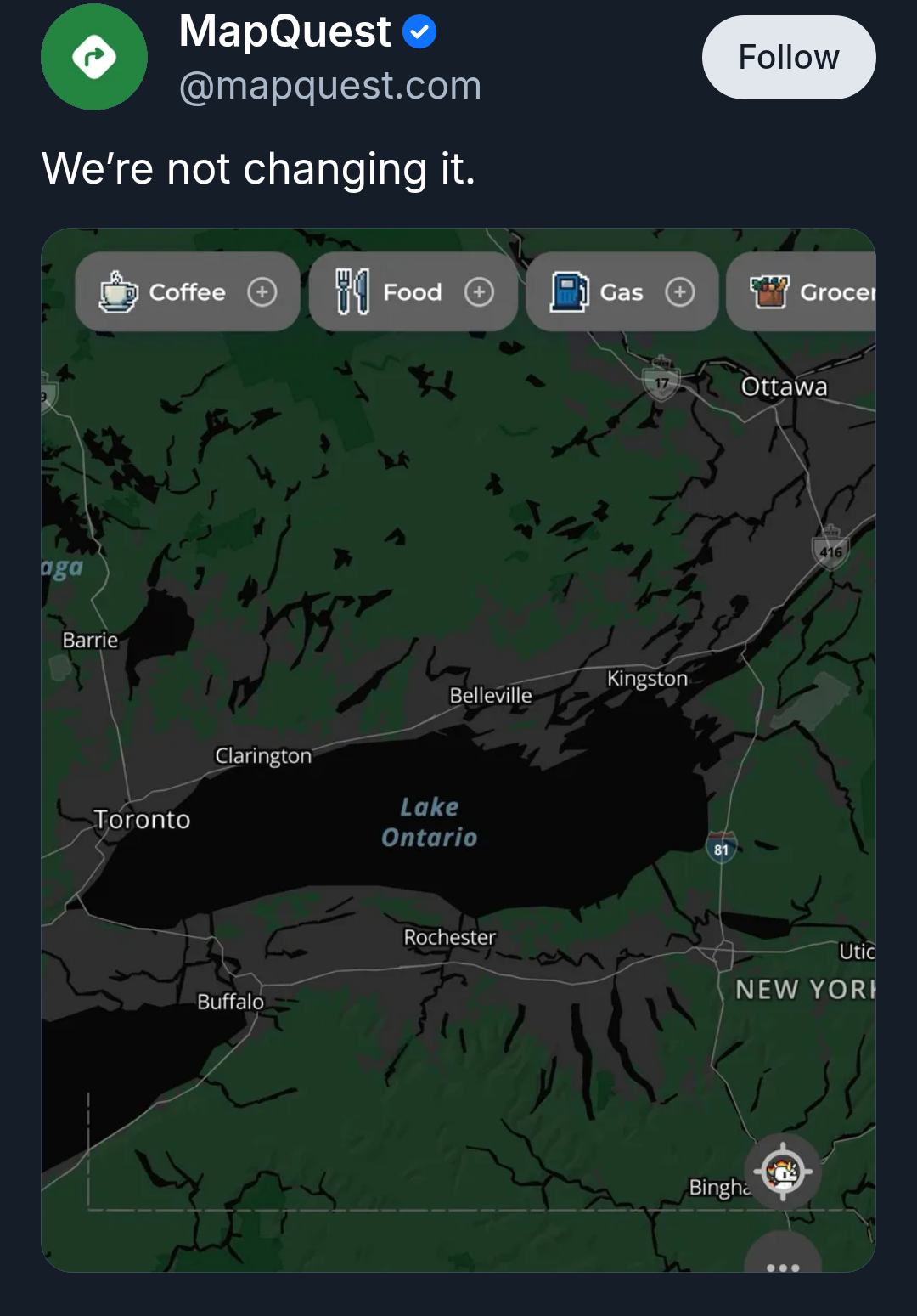
Source: MapQuest on Bluesky
MapQuest also released an online tool that lets you jokingly rename Lake Ontario to whatever you want it to be, then share the results on social media.
Maybe "pull" was the wrong word. However, looking at https://wiki.openstreetmap.org/wiki/History_of_OpenStreetMap I see:
And on https://wiki.openstreetmap.org/wiki/Contributors it shows well over a hundred counties/regions with hundreds(?) of non-user data sources/sets that are used by OSM to maintain the map.
Edit: clarity.
Wel yes, sketching is exactly the manual labor I was talking about. The TIGER import was indeed massive and very automated, but the US community is to this day working on reviewing it. The Dutch situation is very similar - because it had early, high quality open data. In countries were data was released later or of poorer quality, the OSM map had already been filled up to a degree that doing these massive imports became very hard. Majority opinion is that that's actually a good thing - it seems like countries where the map was filled organically (both by hand alone or also with smaller, slower imports) have a more thriving mapper community. I don't think the Ordnance Survey data was used for a massive imports, but rather as one source during the mapping process (the others being notes from going there yourself, open street view images, aerial or satellite imagery, ...). As an example, here in Belgium we started importing buildings around 2019, which you can clearly see here. But it only sped up an existing process of adding those buildings to the map.