
475
MapQuest’s app surges to No. 1 in Navigation in the Apple App Store, after refusing to rename Lake Ontario
(www.businesswire.com)
cross-posted from: https://piefed.world/c/tech/p/1371422/mapquests-app-surges-to-no-1-in-navigation-after-refusing-to-rename-lake-ontario
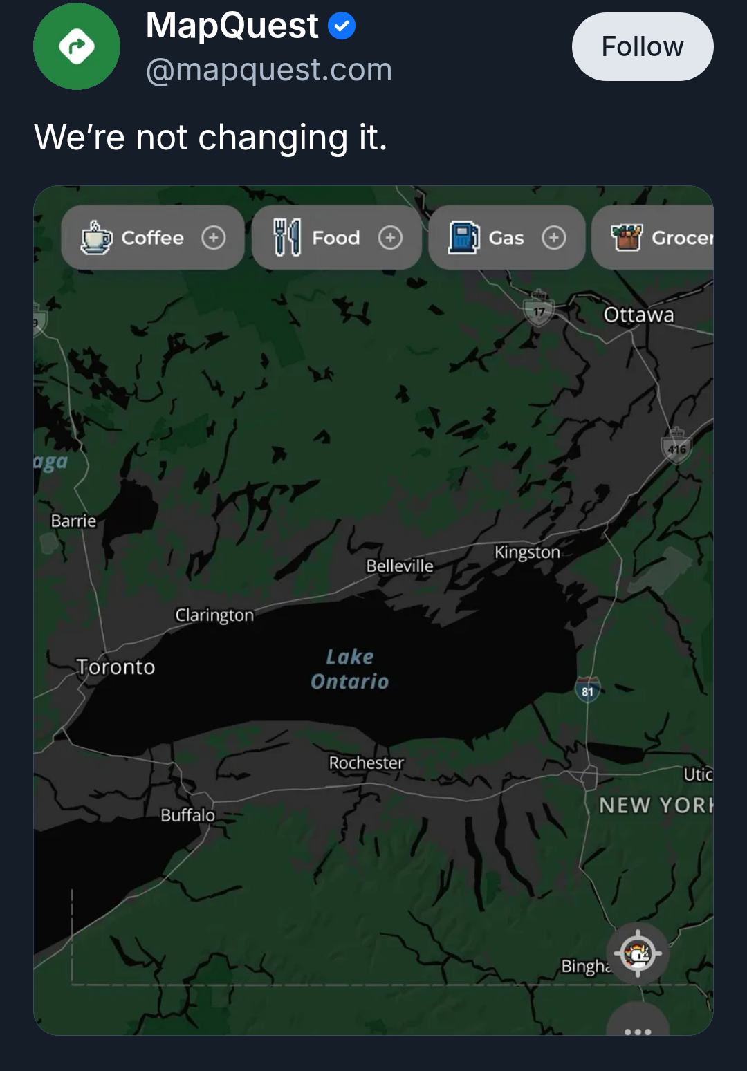
Source: MapQuest on Bluesky
MapQuest also released an online tool that lets you jokingly rename Lake Ontario to whatever you want it to be, then share the results on social media.
Don't fall for the marketing. MapQuest uses Open Street Maps data and slaps ads or a paid subscription on top of it. They aren't ALLOWED to change it, because it is not their data,it is a community project. There are plenty of FOSS clients for OSM, most notably CoMaps.
That being said, I've also found OSM to be unusably bad in my area so whatever.
I've used OSM and MapQuest and MapQuest feels a lot more usable. It must pull from more than just OSM because if I type addresses I to OSM it often can't find it whereas I haven't had that issue with MapQuest yet.
OSM pulls from a few different sources, but for exact details it's the community that enters the data. Can't find an address or business? Add it and then it'll be there for everyone.
Exactly. Just add what's missing yourself. It's kinda fun to edit the map of your local area and its super helpful for others.
Okay but I don't need a map for places I know well enough to edit and I don't really find myself randomly looking at maps of areas I know well
You can let the whole world know that it is 3.2 miles to boonhet’s house. Party time! /s
No idea who went and downvoted me for a fact that applies to probably 99% of the world's population. Anyway, I did go and add several missing local businesses, removed defunct ones and relocated some government services that were showing locations they hadn't been at for like 20 years. But my point stands, unless you go out of your way like I just did, you usually don't naturally find yourself looking at OSM for the places you're most qualified to update.
I use Google maps a lot to check opening hours of local restaurants. I thought I'd try that with an OSM app, and most of the places weren't even there. I'd never trust the details of those that were.
On the other hand, my cycling computer uses OSM data and it's quite complete enough for that purpose. With a couple of exceptions that I just remember that I need to correct.
OSM doesn't really "pull" data. The vast majority is sourced by hand, and adding data from existing sources is a complicated process that requires a lot of preparation and cleaning up afterwards. So basically all of it is a community effort - and a single contributor can make a significant contribution to the project
Maybe "pull" was the wrong word. However, looking at https://wiki.openstreetmap.org/wiki/History_of_OpenStreetMap I see:
And on https://wiki.openstreetmap.org/wiki/Contributors it shows well over a hundred counties/regions with hundreds(?) of non-user data sources/sets that are used by OSM to maintain the map.
Edit: clarity.
Wel yes, sketching is exactly the manual labor I was talking about. The TIGER import was indeed massive and very automated, but the US community is to this day working on reviewing it. The Dutch situation is very similar - because it had early, high quality open data. In countries were data was released later or of poorer quality, the OSM map had already been filled up to a degree that doing these massive imports became very hard. Majority opinion is that that's actually a good thing - it seems like countries where the map was filled organically (both by hand alone or also with smaller, slower imports) have a more thriving mapper community. I don't think the Ordnance Survey data was used for a massive imports, but rather as one source during the mapping process (the others being notes from going there yourself, open street view images, aerial or satellite imagery, ...). As an example, here in Belgium we started importing buildings around 2019, which you can clearly see here. But it only sped up an existing process of adding those buildings to the map.